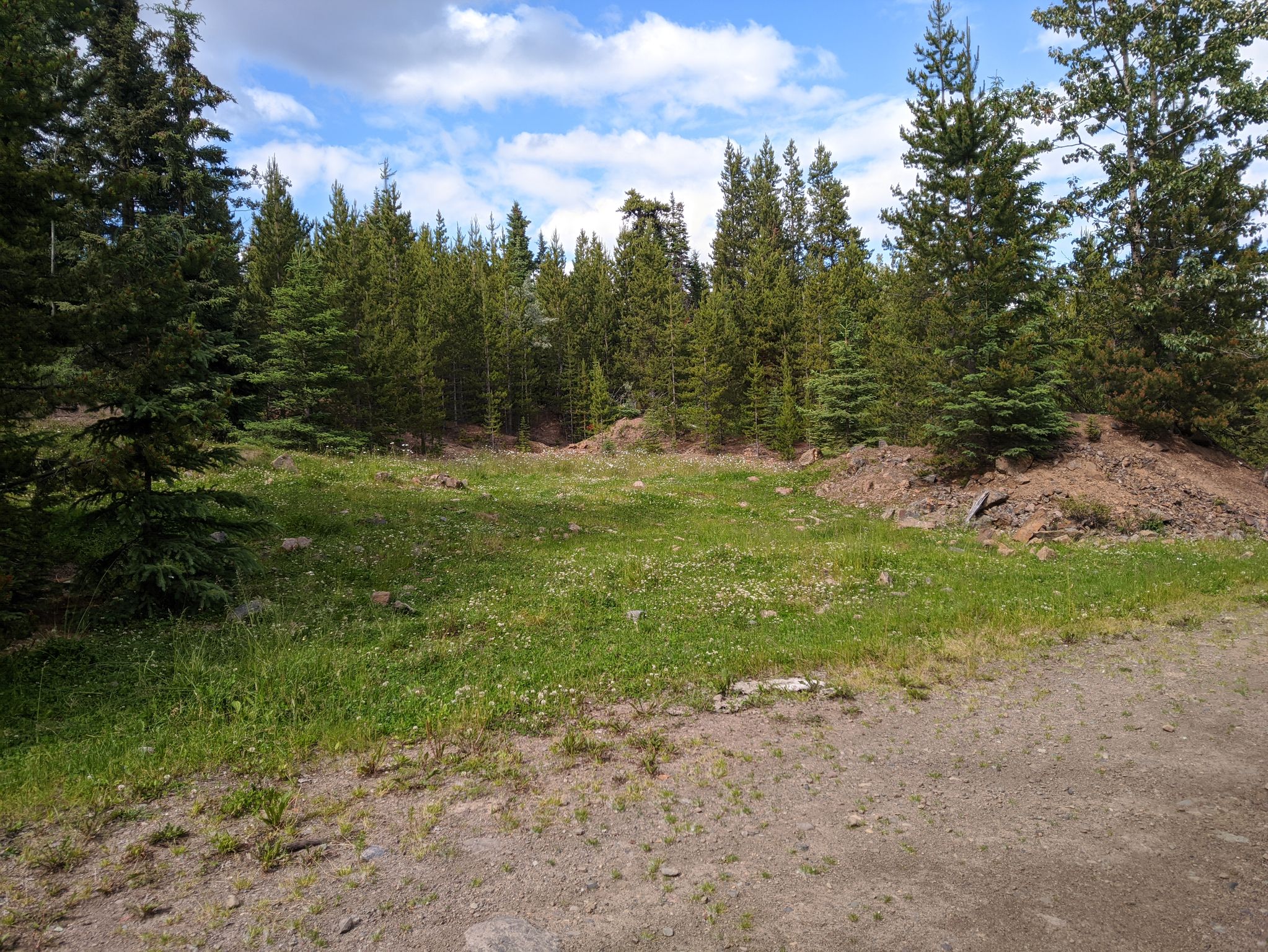
The Dungate Project area features relatively gentle topography typical of the northwestern part of the Nechako Plateau. Prominent bluffs, underlain by Tertiary volcanic rocks, occur to the east and south of the property. There is also an elongate knoll near the northwest corner of the property.
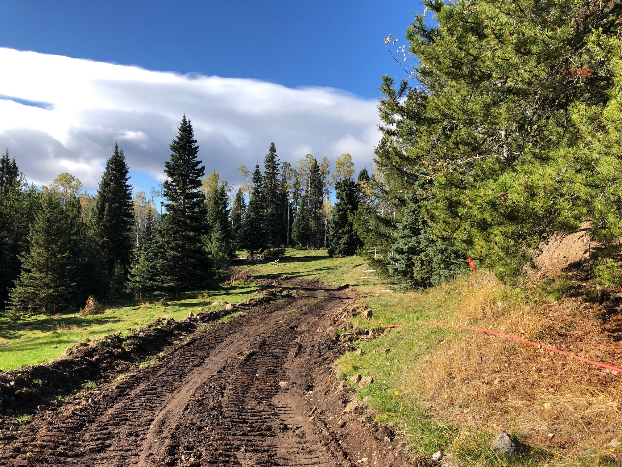
The area is covered by a mixture of smaller spruce, pine, and balsam trees with more open areas that are used at times for grazing cattle. The area has been logged in the past.
Work could proceed all year round however snow removal and road maintenance may be required through winter and spring breakup.
|
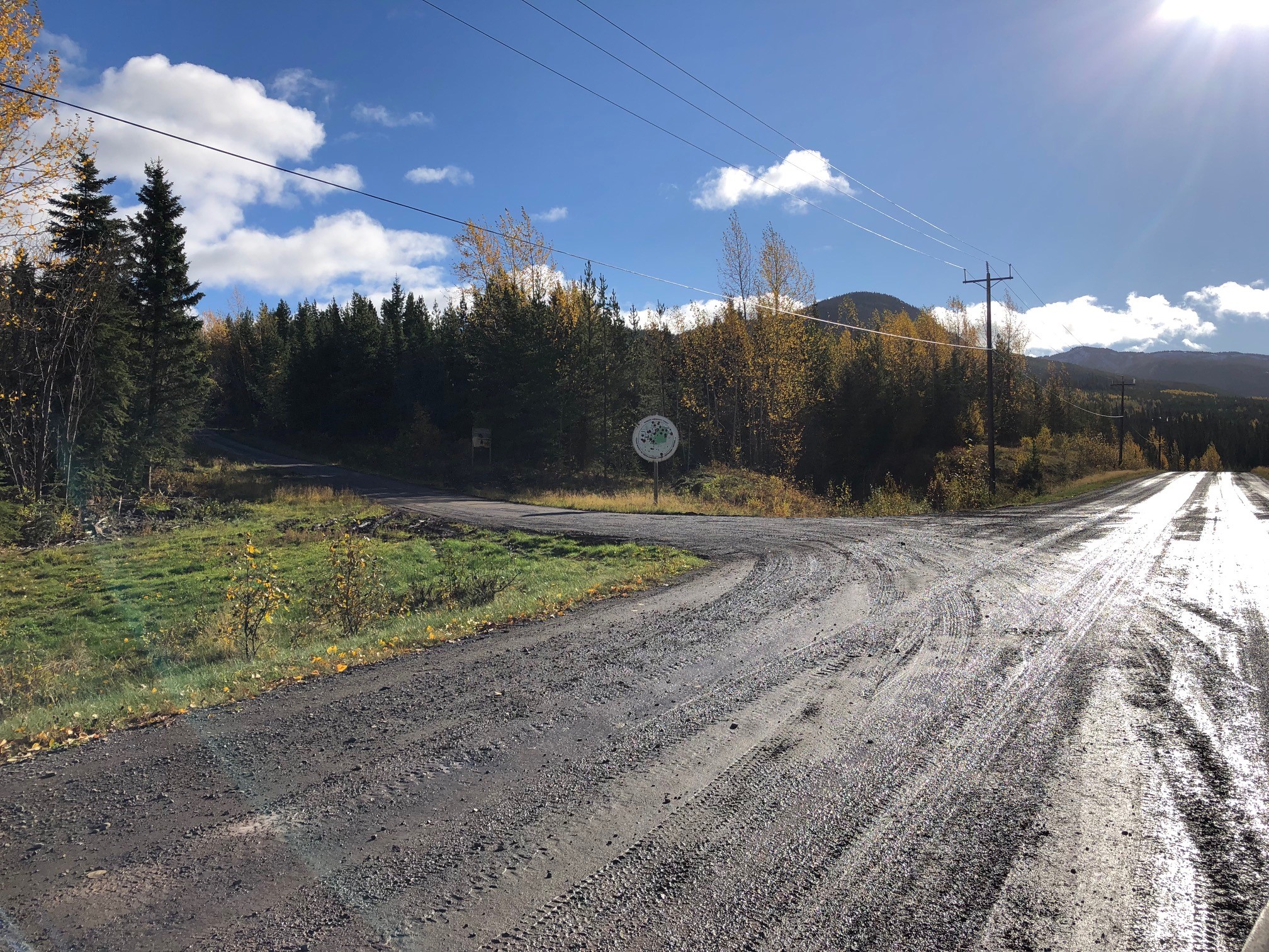
Accessible from Equity Mine Road |
|